
Who likes hills? This chica does! And if you do, too, I sure have a ride for you.
It’s an amazing ride. It will take you up all the Portland hills that you never knew about. It will try to break you with the steepest of the steep. It’s amazing. And, pardon the coarseness, but I couldn’t help but think as I was riding that this route is very similar to good sex. More on that later.
I didn’t come up with it, though I certainly would like to meet the person (or people) who did. So what is it? It’s the Ronde PDX, a 47(ish) mile ride with about 4700 feet of elevation gain, all of it on super lovely roads that make you appreciate how much more slowly you go uphill.
If you look at the website, you’ll see that there is an “unofficial” day where people do the ride en masse (that day happened to be the same day as the 3 Capes 300k this year), but the cool thing about it is that you can really do it whenever–just follow the Lion of Flanders.
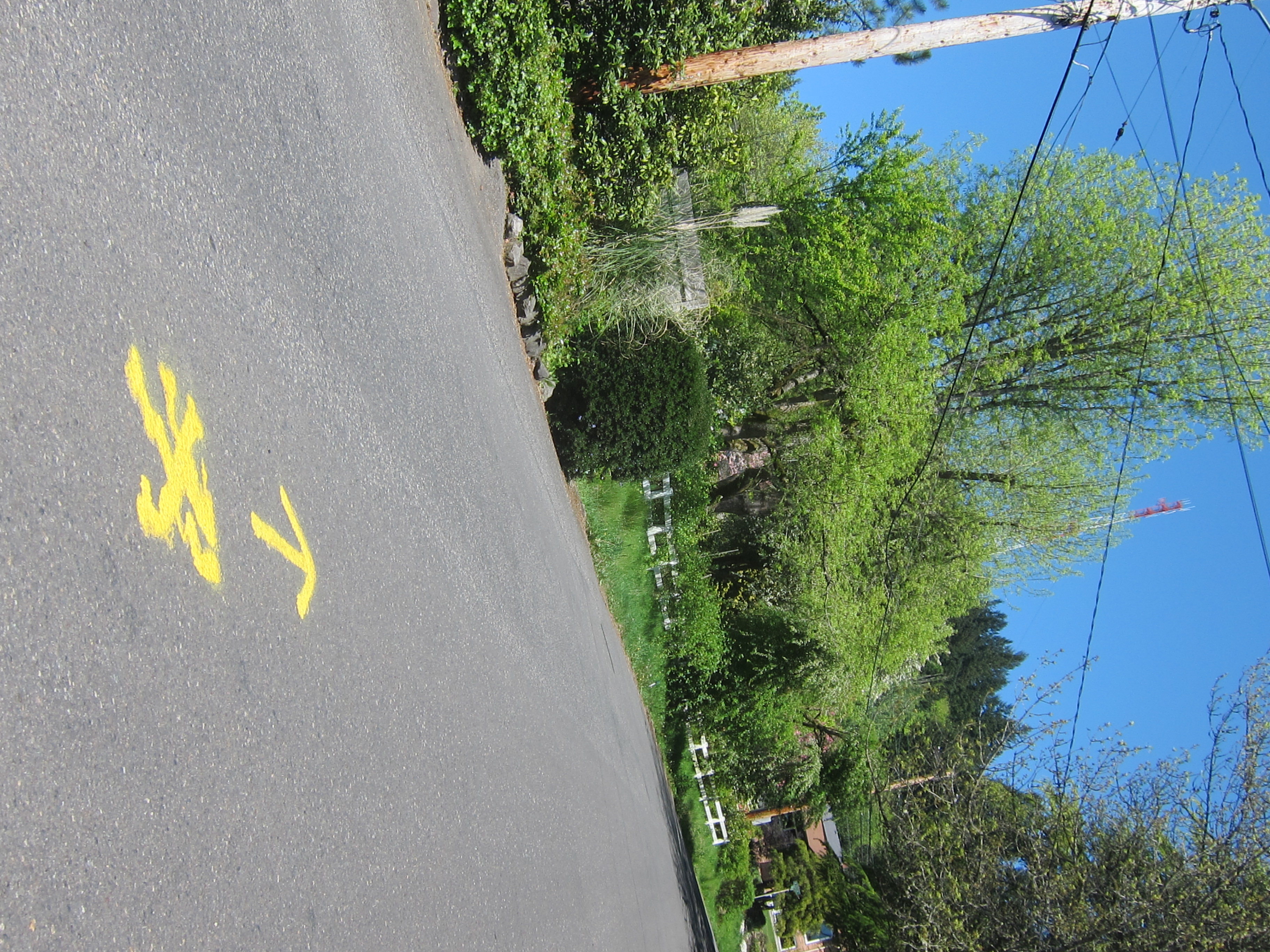 (the lion points the way toward Council Crest, the ride’s end point)
Especially now, since the ride just happened, the paint is fresh and easy to follow. Aside from a marker I missed turning onto Highland Parkway near the zoo and a marker that’s pretty conspicuously painted over to indicate a right turn off of Sherwood Road, I had no problems with it. (Big thanks to my routefinding buddies who answered their phones when I called for directions–the hazards of not having a smartphone with maps;) Thanks James! Thanks Mark!:)
There are a few unpaved parts. The longest is right near the start, the climb up Saltzman Road, but there are a few others that go both up and down. With my itty bitty skinny tires I always worry about unpaved, but everything held up fine. I definitely wouldn’t let the unpavedness stop you.
 (behind the gate: Forest Park and the first totally beautiful and unpaved climb)
You seriously need to like hills to enjoy this ride. At least, if you’re not doing it on the real ride day in solidarity with a whole bunch of other people whose presence may give you some entertainment and encouragement, you should probably go into it hoping to ride up. And here comes the part about why this ride is like good sex.
So I knew the end was Council Crest, but without a cue sheet or GPS or anything, I never really knew how much more of the ride I had left. So starting as early as 24 miles in, when you turn onto Hewitt toward Council Crest, I felt like I was always heading right toward the end–the climax, if you will–and then just as I got near it taking a turn that spewed me all the way downhill again, only to start over climbing to the top. There are 4, 5, 6-maybe times where I was so close to Council Crest and then the route zoomed me all the way down somewhere else. Such a fricken tease, but of course only serving to make the end all the more sweet.
Though that’s also why if you’re really not into hills this ride will kill you, because over and over it takes you so close to where you want to be–and then breaks your heart by turning you not only further away, but downhill again, ensuring that you have to make up all the same elevation over and over and over.
It’s awesome:)
Today was such a beautiful day for this kind of ride. Because you’re often pretty high up, on a sunny day you get spectacular views along the whole route of our four visible mountains: St Helens, Rainier, Adams, Hood. And then at the end you get all four of them at once at Council Crest.
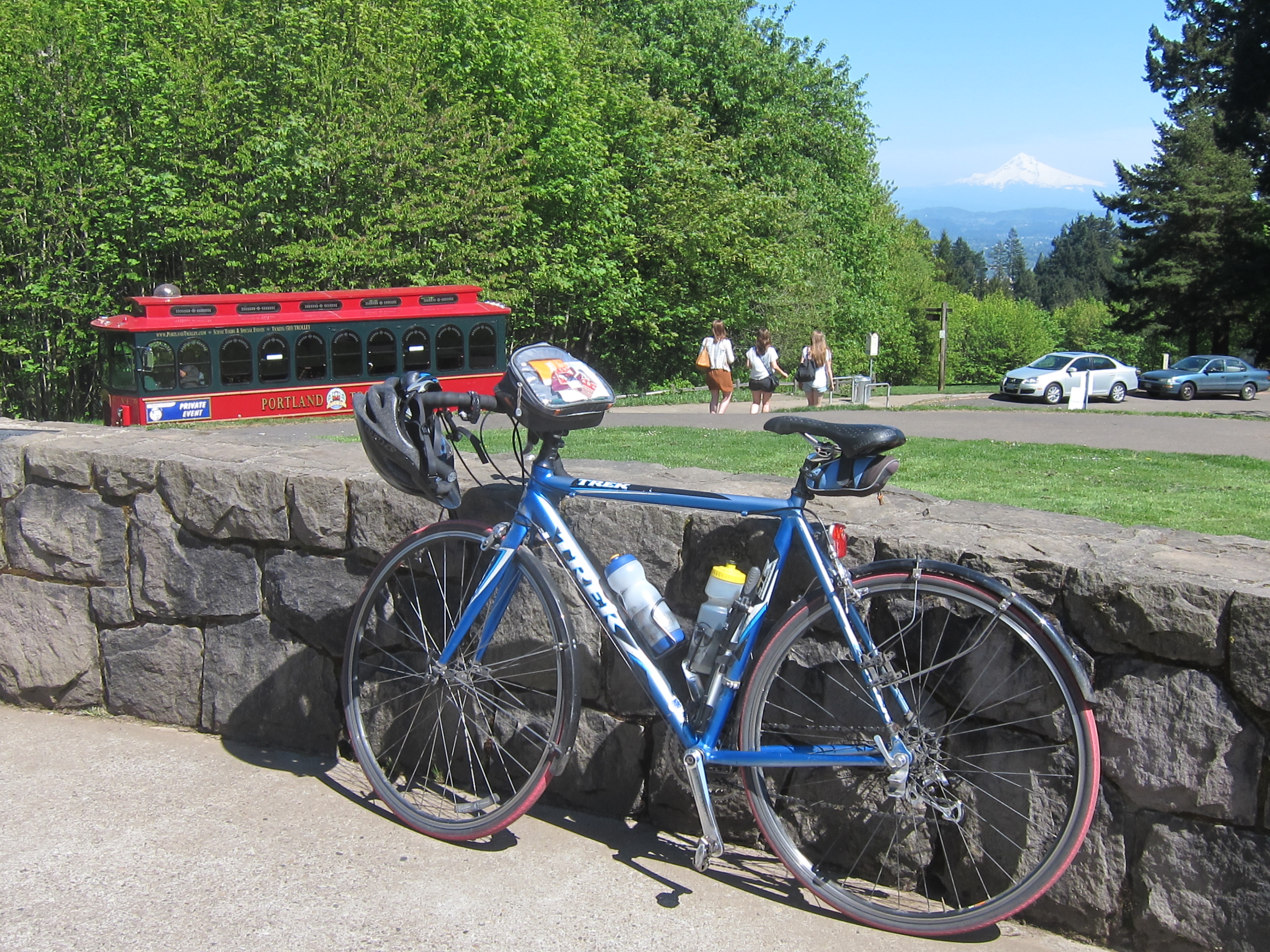 (the trifecta of awesomeness at Council Crest: my lovely bike, Mt Hood, and random Portland trolley:)
The whole ride, complete with routefinding and picture-taking stops, a detour to scope out Pittock Mansion, a lunch/lie in the afternoon grass break at Harrison Park, and another detour when I ran into Michael Wolfe out for his own lunchtime jaunt up Council Crest and turned around to bike with him for a while–complete with all that, the ride took (I think) about five and a half hours. Which seems like a reeeeeeally long time for, oh, 47 miles. But I guess it was pretty darn hilly, and I was just out for a day-off joyride.
Though the sobering thing: in July, I’ll be doing the Death Ride down near Lake Tahoe. Which is 129 miles–almost 3 times as long as this ride–with 15,000 feet of climbing. All at elevation. heh. I’m going to have to get crackin’ on this spunky hill-climbing! :)
Thighs of steel!
Pingback: Leif Erikson Trail (Unpaved awesomeness, right in Portland) – CarFreeRambles
Pingback: Guest Post: Riding the Ronde PDX – CarFreeRambles