
About 2 weeks ago (so, about a week and a half into our trip), we officially joined the Adventure Cycling Association’s Northern Tier bicycle route, which is a “route” planned out by the ACA to include good roads for cycling as well as info about camping for cyclists, lodging, where there is food, and stuff like that. Once we left Sandpoint, Idaho, day 15 for us, we actually started following their route with their printed maps (for the few days before, we were kind of accidentally on their route according to where the roads we wanted to take were).
Since then, I’ve thought a lot as we’ve been biking about planning my own route vs. following someone else’s path or cuesheet. After the first few bike trips I’ve taken, I’ve basically always planned my own route and bring my own maps and figure out where I want to go as I go. So it’s super weird for me to be following a laid-out path — even weirder because the ACA maps have no real context outside of the route to follow, so unless they’re signed on the road, for example (which they have been in Montana), I don’t know what mountain ranges we’re passing through, where the highways that branch off might take me, or really, until I look at the map I’ve been keeping up, how our route fits into the larger context of the country at all.
For someone who LOVES LOVES LOVES maps and who likes to be able to situate myself in the world with them, the ACA routes are super disorienting.
.
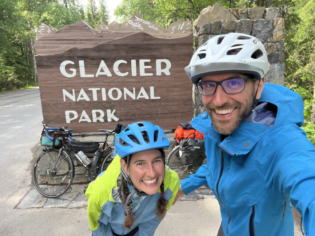
(we did, however, take some detours to go into Glacier on both the west side at Apgar and the east side at Two Medicine)
.
On the other hand, for this part of the trip, through the plains of Montana and then North Dakota, there aren’t really so super many options of road, so it’s kind of nice to just have a path to follow from town to town. It’s also nice to know which of the itty-bitty towns will have stores, which will have libraries, and stuff like that. So it’s not all bad. But I frequently find myself wishing I had what I snobbily consider real maps, with things that aren’t necessarily just catering to a cyclist passing through with an end destination goal.
Both have benefits and on the whole I’m glad to have the experience of both. If I did this again, though, I would probably try to do it with “real” maps instead of these ACA ones, as helpful as they sometimes are. It speaks more to my sense of possibility to have a map rather than a route.
After Fargo, North Dakota, we leave the Northern Tier route again to blaze our own path, and I’m excited about that:) Till then, we will be sweltering away in the heat in these neverending plains with no shade. Ha! Maybe more on that later;)