
I mentioned last time that if you’re in the Sisters/Bend area, you have all sorts of different Scenic Bikeways to choose from. Many of them are just one route, from point A to point B, or, like the Twin Bridges bikeway, a loop. If you want a ride with lots of different options, though, including some short, kid-friendly ones, the Metolius River Loops Scenic Bikeway is a good bet.
 (just chillin’ in front of the Metolius River)
It’s called the Metolius River Loops Bikeway because it does, in fact, have a bunch of different loop options. The shortest one is just over 3 miles, much of which actually has separated bike paths that roughly parallel the road. They’re unpaved, which I know can be anathema to road biking, but the quality of the path is good, and they’re pretty. I actually preferred them to the roads since in a scenic place I’m not necessarily trying to go fast anyway. And they’re fine for skinny tires.
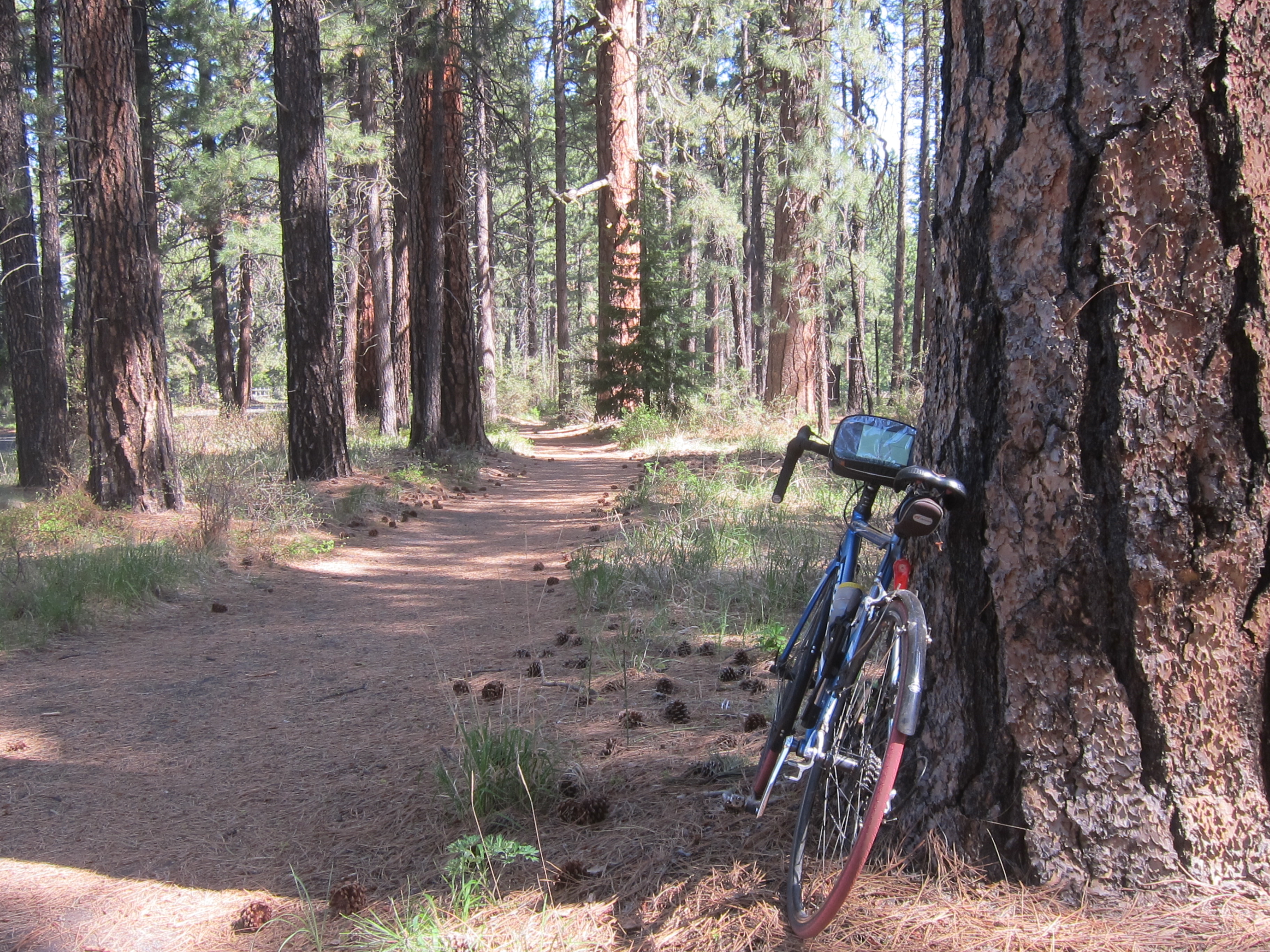 (One of several lovely bike paths. Totally worth it)
The longest official loop, the one that has a spur up to the Lower Bridge campground, is 14.6 miles. But honestly, since all the loops sort of overlap each other and it’s hard to differentiate which is which from the overview map, and since there are no signs on this bikeway (yet!), I didn’t really follow any specific loops. What I did, and what I’d recommend doing unless you definitely have a 5-year old with you and need to keep to 3 miles or whatever, is just to treat this bikeway as an exploration: use Camp Sherman as your starting point, and then simply follow all the awesome roads that you can. There aren’t that many, so as long as you’re conscious of which direction the river is in and which direction you came from, I think it’d be very difficult to get lost for too long.
My absolute favorite part of this bikeway isn’t actually mentioned on the bikeway cuesheet itself but is a little detour you can take to go see the headwaters of the Metolius River. If you follow the “headwaters” signs, you’ll get to a little paved path; you can bike all the way down it (just watch out for pedestrians!) until you see this:
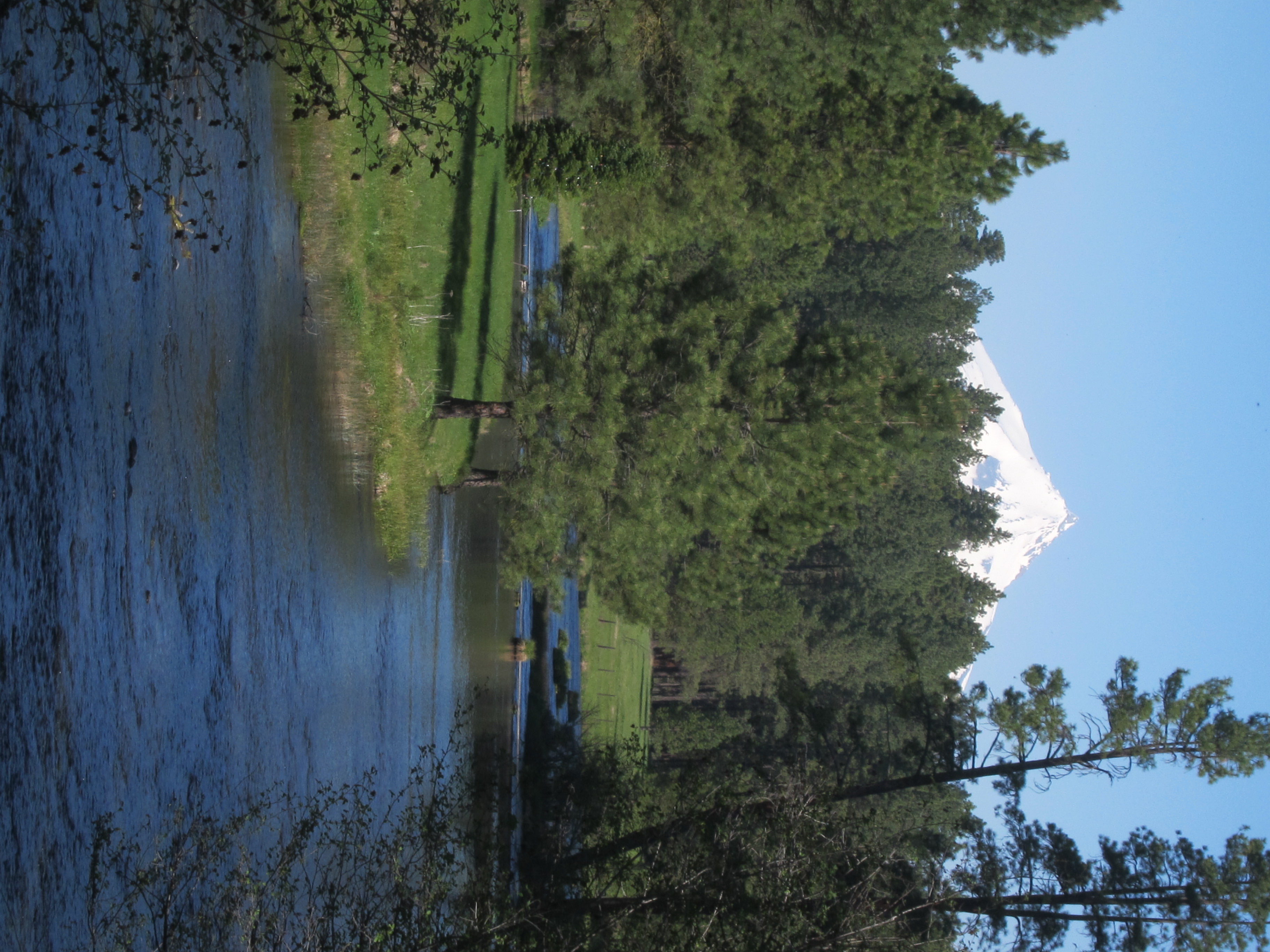 (Mt Jefferson! And check out how big the Metolius River is)
After that, turn around and look upriver, and you’ll see this:

Yep. I couldn’t take a good picture of it, but that’s the Metolius River, springing forth fully formed from the ground. It is absolutely amazing to me that the huge river you see on all of this bikeway spews forth from underground right here. And you can see it. Rivers being born is one of the most amazing things ever.
Other than the fact that it’s a super lovely place to ride (you can’t go wrong with the many places to play in the river and all the Ponderosa forest), another fun thing about this bikeway is that there are campgrounds all over the place. They’re not marked on the bikeways map, but you seriously can’t go for more than 30 minutes on your bike without stumbling over another campground. Most of them are right on the river; most of them are also relatively small and peaceful. And you’re never too far from Camp Sherman, where there’s a friendly store if you run out of food. It would be really fun to come out here and set up a base camp somewhere, then spend a day or two exploring everything else the area has to offer.
For that matter, if you’re not into camping, there are also a plethora of lodges that you pass on the way in to Camp Sherman. This bikeway might seriously have something for everyone. Except for steep hills:)
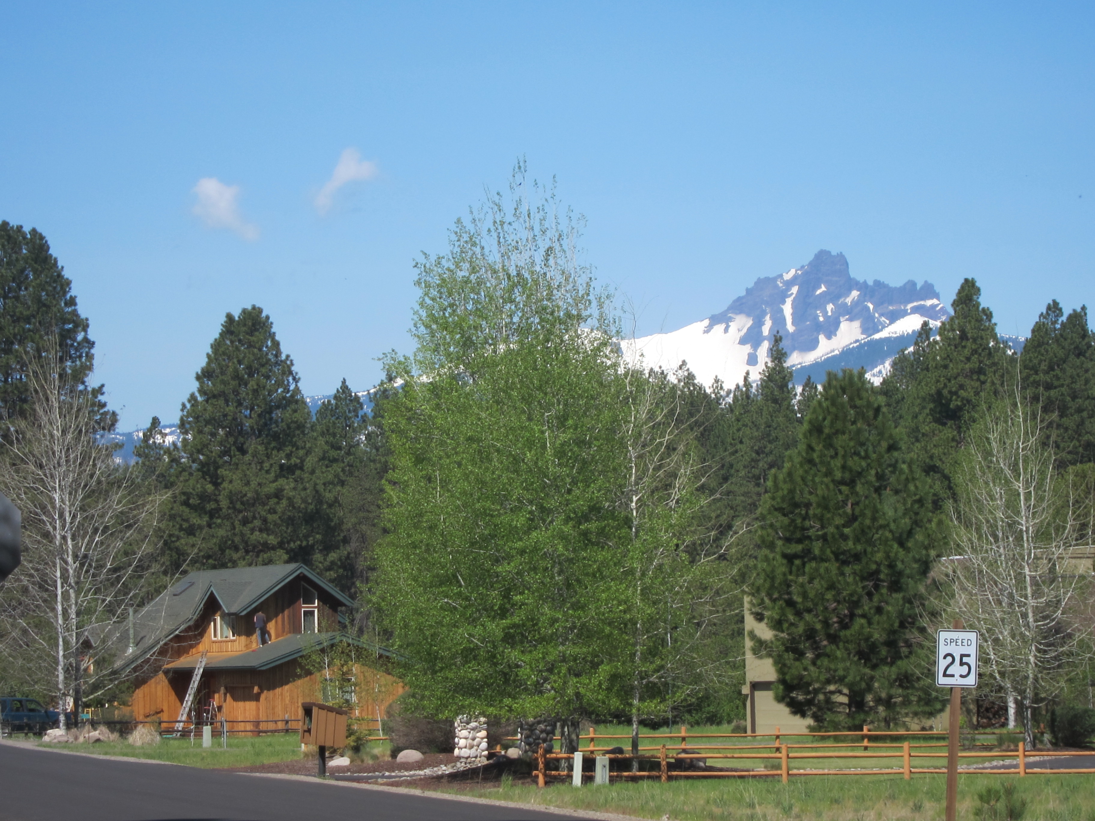 (though like any self-respecting place in Central Oregon, it does have mountain views:)
So this is by no means a challenging ride, but it is a lovely one, with lots of different options for one day or more. And you can’t go wrong when you’re on such a lovely river as the Metolius. I’d totally recommend it.