
Part three of a guest series by Dieter Loibner (Check out Part 1 and Part 2 if you missed them the first time:)
After a tour of San Juan Island…
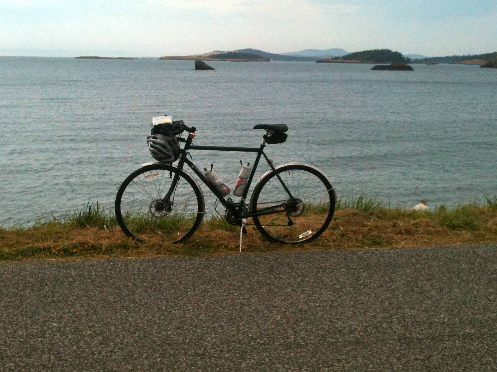
Moi? I’m catching the boat to Lopez, finishing the second half of the sandwich I bought on Orcas and stretching to keep the cooling muscles from becoming tight, so the final leg will go smoothly. At the Lopez ferry dock it’s a short and steep-ish climb to Ferry Road, which quickly flattens out and descends as you head south, essentially following the 31-mile route of the Tour de Lopez with some modifications. Go left on Port Stanley and follow it for a few miles. Turn left on Lopez Rd, which curves around and turns into School Rd. Turn left on Center, then left on Lopez Sound and Right on Mud Bay, which you follow for about 5 miles to Aleck Bay. You pass Islandale Market and the gas station on the way. Hang a right on Aleck Bay and again on the next turn to stay on Aleck Bay, which now heads west until it intersects with MacKaye Harbor. You’ll notice a drop of temperature as the cold air from the water blows in from the anchorage. Turn left and follow MacKaye for a short stretch until you reach MacKaye Beach.
 (bikin’ it up on MacKaye Beach)
At the south eastern end of the beach there’s a small gravel parking lot. Look for the pathway that takes you back about 50 yards into the woods, to what’s got to be the best outhouse in this galaxy. It’s clean, there’s a bicycle theme, it always is decorated with a bunch of fresh flowers and if you sit down to do your business with an open door, you’ll be treated to a world-class view of the ocean and the ever-present Olympic Mountains in the distance.
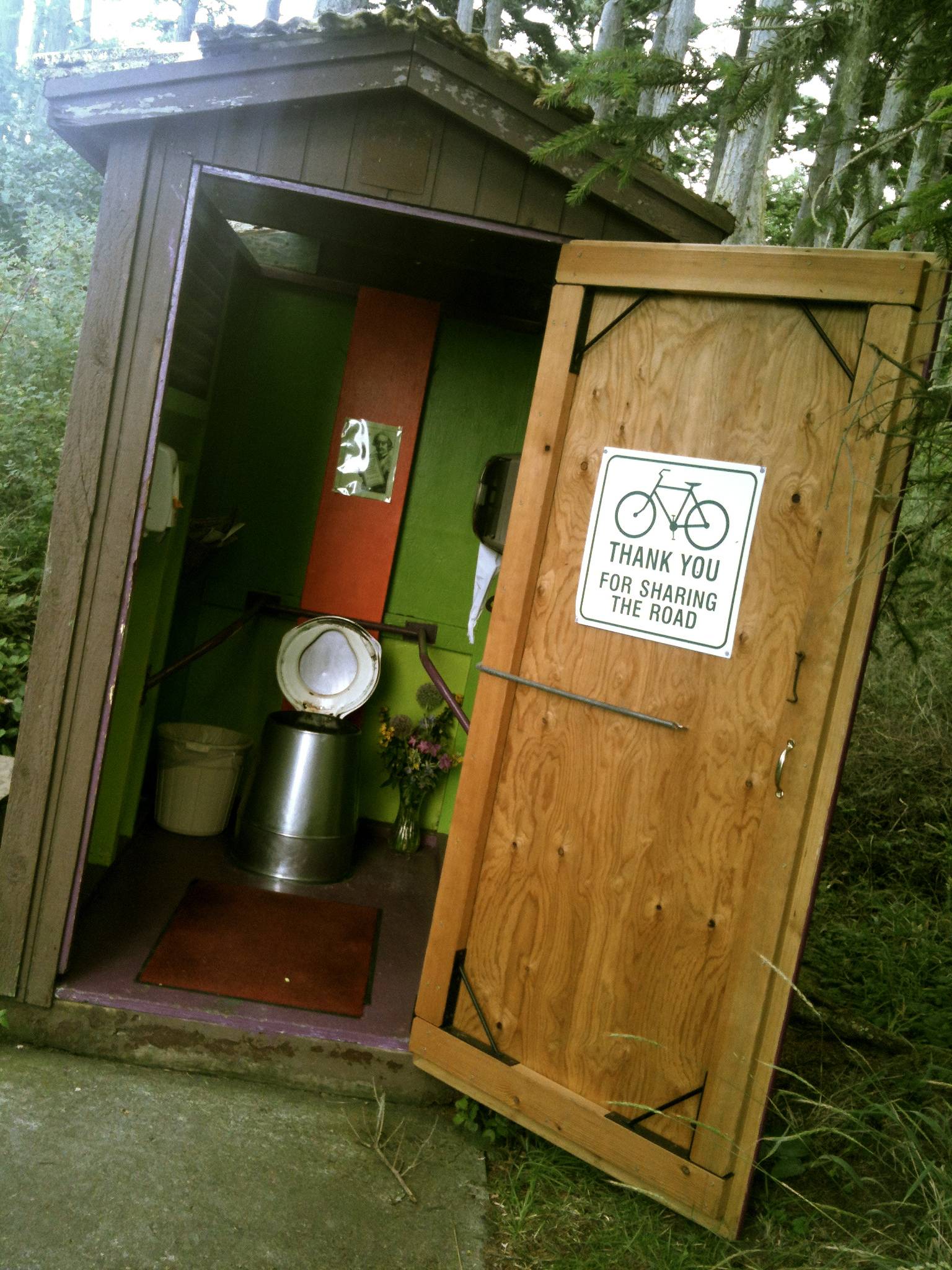 (best outhouse ever!)
From there head north on MacKaye Harbor, but keep straight to go back up to the gas station, where you backtrack for a mile or so on Mud Bay until you turn left on Vista, which bends right to become Richardson Bay. You could take this back up toward Lopez Village, but I always go left on Davis Bay and stay on it until it becomes Burt, which climbs a short hill and descends to Shark Reef Rd. Turning right there the loop now enters the home stretch. Make a right on Airport Rd and then head left on Fisherman’s Bay, which takes you to Lopez Village on a screaming descent. Spin out the last mile, past the pretty anchorage and yacht harbor, ride past the library on the corner of Fisherman Bay and Hummel Lake Road and turn left on Lopez Road, which takes you â€downtown,” where the Chautauqua ends.
Depending on your appetite, there are several options to refuel hippy-dippy style at the Vortex Juice Bar and Cafe or the more upscale Vita’s. There’s also Blossom’s Organic Grocery (which I prefer) and the big Village Market nearby. If the craving calls for sweet carbs, check in at Holly B’s Bakery or at Cafe Isabel where you’ll run into locals and can chat up other riders over iced mocha while you peruse the free WiFi for a Facebook post that brags about your achievement.
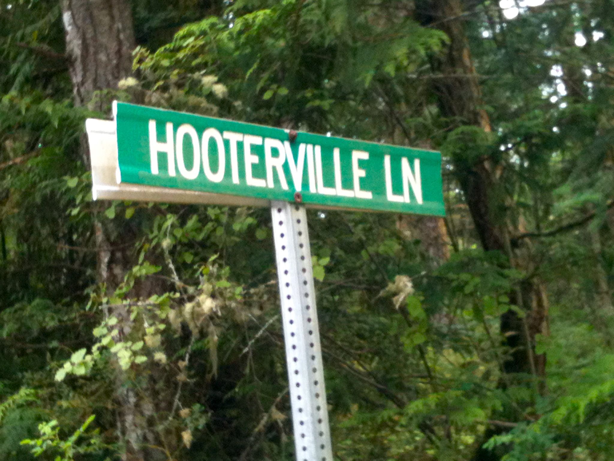 (Dieter’s caption: you wish. My caption: where are the owls?:)
Finally, I ask for clemency for not peppering my account with exact numbers. Like most people I know, I get obsessed with maningless measurements, but I try to take a vacation from that affliction when I ride. No speedo, no GPS, no trip computer. Nada. It’s an atttempt (however futile it might seem) to teach myself to live and ride in the moment, to pay attention to my surroundings and, yes, to get lost sometimes. In this light, this triple-treat trip should be considered a humble suggestion that can be tweaked, mixed and matched to fit personal preference. Just one thing will remain constant: The San Juans are a fantastic biking venue that suits different tastes and abilities.
For the (estimated) record: I left the rented house on Lopez at 6:30 AM and walked into Cafe Isabel at 4:30 PM, 10 hours later, on the dot. Subtracting two hours for the various ferries and another 45 minutes for the miscellaneous stops for food, coffee and photos, I reckon net riding time was around 7 hours and small change for 85-ish total miles. Altitude gain, um, who cares? There was one hunk of a hill, Mount Constitution. Had to climb it from sea level to the tippy top. All 2,409 feet of it. It was a bit of work. But so worth it.
Points to consider:
- Accommodations can be pricey, but there are State Park campgrounds on each island, except on Orcas
- June and September have iffier weather and shorter days, but fewer people
- At the height of summer, go early in the day to avoid the tourist (c)rush
- Weather and temps can change quickly, so a light jacket should be part of your kit
- Quality of road pavement on the described route is excellent, either asphalt or smooth chip seal.
- Be prepared to deal with some fresh winds along some stretches of open road and on Mount Constitution
- Keep water bottles topped up and use the drinking fountains on the ferries that dispense cold, filtered eau
- Ride with lights and don’t forget the deer that have free reign here and might step into the roadway at inopportune times
- For maps, if you are as cheap and old-fashioned as I am: Every ferry has a kiosk that’s stuffed with real-estate pubs for each island that contain road maps that are easy to tear out
- I rode that tour with my steel rando bike and my alu-carbon city hopper. Steel steed wins hands down.
Thanks for the write-up, Dieter! I know I’ve been wanting to get up to the San Juan Islands with my bike for a few years now without quite ever fitting it in–but this gets me kind of psyched on it again! If anyone else has any San Juan Island ideas, I’d love to hear those too… Thanks all! :)