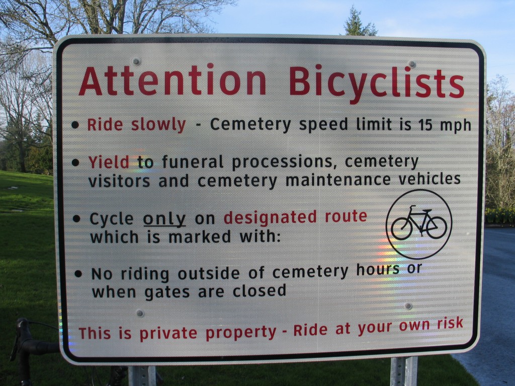
Riverview Cemetery is, I think, one of the best things to happen to biking in Portland. Not only does it provide a safe alternative to the shoulderless Taylor’s Ferry Rd, but with views of the Willamette River and Mt Hood, it’s also one of the more beautiful places you can bike. Though it’s private property, the owners have graciously allowed bike traffic to continue through it, provided that cyclists can use it courteously and considerately.
Aside from being a lovely ride, the cemetery is also the best way to get from SE Portland and the Sellwood Bridge to either Lewis and Clark College or Tryon Creek State Park, the last two attractions before SW Portland turns into Lake Oswego. However, after several failed attempts to describe the route to people and many more times where I’ve finally just escorted folks, I decided it’s time for a post about how to actually get from Riverview Cemetery to either of these two places. This is dedicated to Kristina, the last woman I met en route and who I escorted up to the Lewis and Clark graduate school.
The easy part of the ride is getting from the bottom of Riverview Cemetery up to the top–simply follow the arrows that are painted on the pavement:
Even if you don’t see the arrows (which are huge, and, unless you’re trying really hard, incredibly difficult to miss), it’s hard to go wrong because all the other roads except for the bike route are marked with no bike entry signs:
I’ll admit I was annoyed by those when the cemetery staff first put them up (what? You can’t tell me where to bike!), but it is, after all, private property. If a few closed roads are the price to pay for access to this lovely, safe path up the hill, I can live with it.
So even though it may be physically hard to get to the top of the hill, the pathfinding part is pretty easy. However, at the top is where most people go wrong. Most people assume that once you get to the top, you’re right at Lewis and Clark College. This is not the case. At the top, you’re confronted not with a college but with some houses and an intersection with no street signs:
To get to Lewis and Clark, you need to turn left (to get to Tryon Creek, you can go either way, but I recommend left for that also. It’s the nicer, lower-traffic option). This will put you on a winding residential street called Palatine Hill Rd. Again, you won’t see a street sign that says that, this is just for your own knowledge. It intersects with a few other residential streets, some of which are unpaved, but you should stay on Palatine Hill Rd for just over a half mile. You’ll know you’ve gone far enough because after .6 miles, the road will end at another intersection:
The confusing thing about this intersection is that it looks like you’re turning onto a street called Plater Rd–and since the address for Lewis and Clark is Palatine Hill Rd, it’s easy to think you’re going the wrong way. However, if you turn left here, you’ll see almost immediately the beginning of the LC undergraduate campus on your left. And if you keep going, you’ll get to the graduate campus as well.
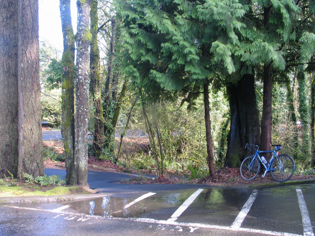
To get to Tryon Creek, on the other hand, you’ll need to take a right here, down a little hill to a traffic circle and the Lewis and Clark law school. The best way is to actually turn into the law school parking lot and make a left, going to the very end of the lot. It seems weird, but trust me. At the farthest part of the lot, you’ll see some no-parking stripes and a little, unmarked path:
Just follow the path down the hill–watch out, it’s kind of a killer hill–and make a left at the bottom. Again, watch out, since it’s a steep hill, a sharp turn, and a mini cliff on the other side of the path.
And then that’s it! After you make your careful left, just follow the bike path for about a mile, making sure to watch out for joggers, and you’ll see signs for the Tryon Creek nature center. You’ve made it, the best, lowest-traffic way possible!


thanks for the route! I got lost doing this when I tried last fall. glad to know theres an easy way.
No problem! Thanks for the comment; you’ll have to let me know if and when you bike it again. Successfully this time, I hope:)
Oh, Stasia. Your post made me nostalgic for that whole Lucy Clark neighborhood. Good jorb! :)
Thank you for the directions. I followed them this morning and had a great ride up through the cemetery then down along Tryon Creek.
The bit from the end of the L&C Law parking lot is very steep and doesn’t look like a real path at first, but these directions are right on.
Once you get going down the Tryon trail, there are a lot of root bumps and sunken spots that are very hard to see. It is still a nice ride, but not something to fly down at speed.
Aw, yay! Glad it worked for you AND glad you had a nice ride (minus the Tryon roots;) It was such a lovely morning for biking today! :)