
This has become a bit of a tradition for me: come spring, when the world starts warming up and the days get longer, when the buds start exploding and the birds that have spent the winter in warmer pastures start to return, I set out on my bike to pay homage to all the places I know that osprey nest.
In some sense, it’s my way of honoring the natural world, my own personal ritual to mark the passage of time and the return of what seems to me a long-lost friend (though I’m sure the osprey don’t think of me as such;) It’s my own personal celebration of one of nature’s cycles, one that I look forward to as a harbinger of real spring.
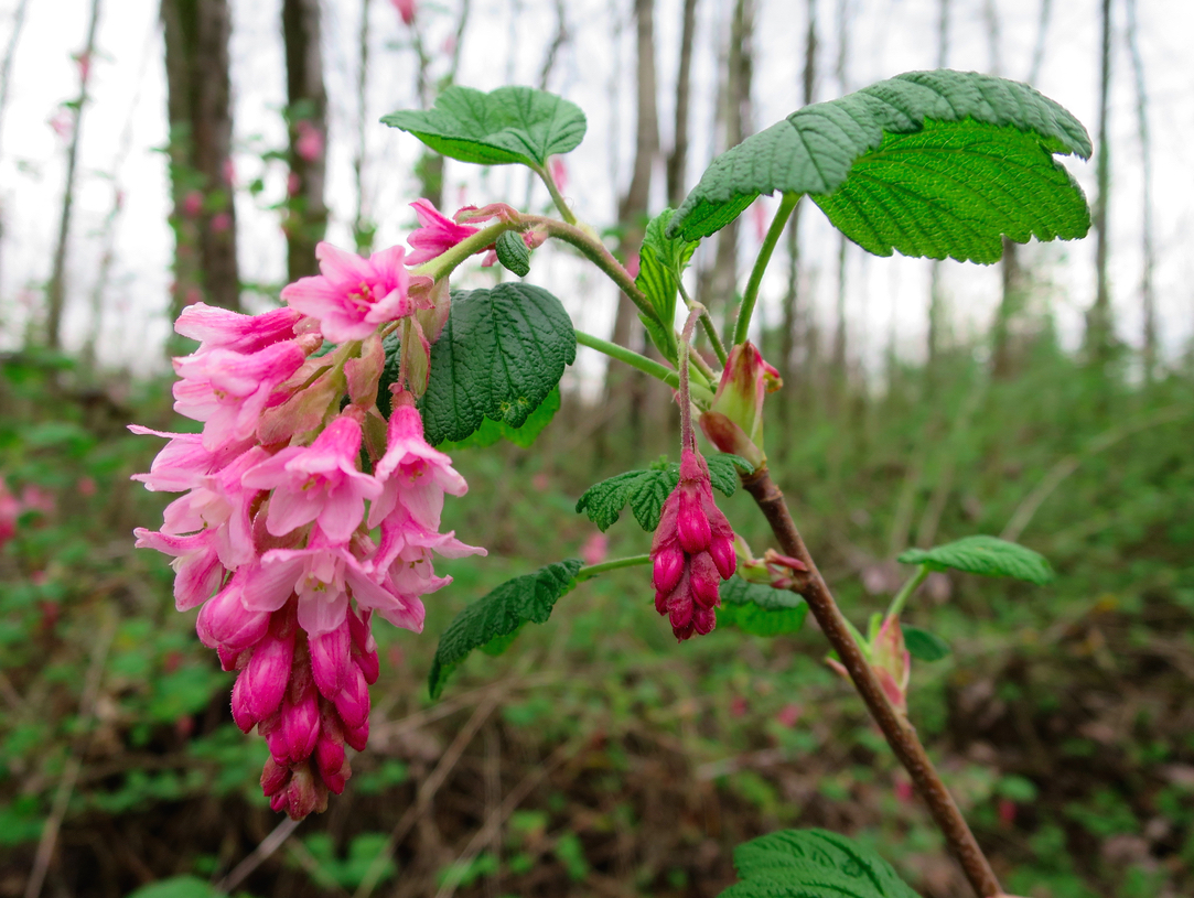 (okay, all the flowers — like this red-flowering currant at Smith and Bybee Wetlands — are good harbingers of spring too:)
Two weekends ago, I went to Smith Rock with a friend. We were climbing; it was amazingly sunny and warm and the afternoon seemed to stretch out forever; I looked up to the sky and lo and behold, three turkey vultures turning lazy circles in the updrafts. A few days later, from my porch in Portland, I saw some more turkey vultures circling my very own neighborhood. Turkey vultures! Like osprey, they head south for the winter. If they were back, it couldn’t be long before the osprey were too.
So yesterday, drawn also by the desire to check out as many Portland waterways as possible (things are so, so flooded here right now!), I set out on my osprey ride.
There are osprey. And there are floods.
 (usually, this is a long trail down to a canoe launch into Smith and Bybee Wetlands — now, you may as well just toss your canoe off the road and call it good)
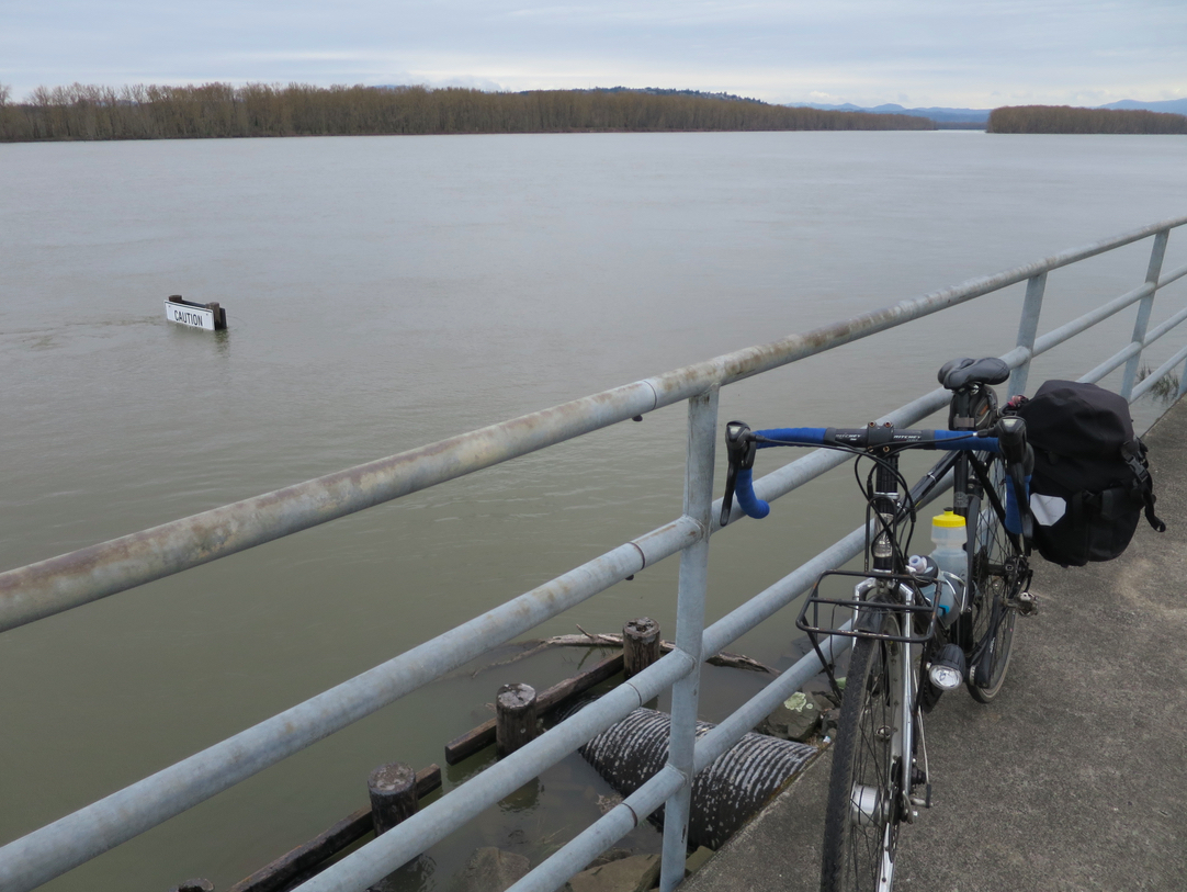 (check out that “caution” sign totally underwater in the Columbia River. If only I could remember what it was cautioning me against!)
 (Oaks Bottom is pretty darn underwater too. It felt a little like biking the flood gauntlet, between Oaks Bottom on one side and the hugely swollen Willamette River on the other)
I rode much farther than I was intending simply because it was a nice day (i.e. no rain, though it wasn’t overtly sunny or anything) and I had all the time in the world and it felt so nice to be out on my bike, especially to places I haven’t been for a while. There weren’t as many osprey as I thought there might be, but there were a few: a pair on the nest by Smith and Bybee; one along the Columbia River closer to Gresham; a pair on the first nest I ever knew about by Oaks Park.
Welcome back to them all, and all the rest who will follow. And welcome back, too, to the days of total-joyride biking:)
Map My Fitness? What? You don’t believe in putting food on the table for a Cycle Wild founder? :P
Wait.. what? Is there a better alternative I should be using? I’m not trying to be snarky; I have no idea what you’re talking about.
Ride With GPS, of course! That’s where all the “cool kidz” are. ;-)
Huh! Now that I’m looking back, I guess I actually use both of those sort of interchangeably. Is Ride with GPS actually better for substantive reasons? I feel like one of them didn’t let me map routes over a certain length, which is why I started using the other, but now I don’t remember which one was which, and I use them so infrequently that I never really think about it. But if there’s a compelling reason to use Ride w/ GPS over Map My Fitness, I’m down to actually pay attention… :)
There’s no limit to what you can map with Ride With GPS. And it also shows elevation and grade, which are pretty good for biking. There is a paid version that offers certain perks, like storing of offline maps on your phone and customized cue sheets that are pretty, er, rad. See, I said rad! That means go for that one!